
Jim Lake to Knik River Packraft Float Trip | Alaska
| Channel | Publish Date | Thumbnail & View Count | Download Video |
|---|---|---|---|
 | Publish Date not found | 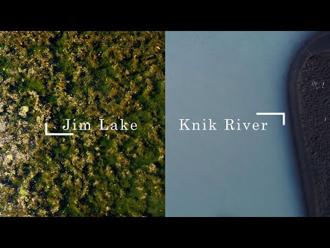 0 Views |
I mapped a float from Jim Lake Parking Area to the Knik River Public Access. All three of us were in Alpacka Packrafts. First we paddled Jim Lake, made a small crossing to McRoberts Creek, connecting with Jim Creek and finally connecting with the Knik River. Lake Jim is a relatively shallow lake full of weeds, and is a great contrast to the very silty and cold water of the Knik. The river is fed by the Knik Glacier, which explains the water. The trip took about 7 hours and 20 minutes, part of which was spent watching the video footage seen here. There are several places where you can get out of the water early to shorten the trip, such as the Old Knik River Bridge. The map effects were created with Google Earth Studio and the map animation with Adobe After Effects. I used a combination of my GoPro Hero 10 and DJI Mini 2 Drone to take the photos.
Instagram:
https://www.instagram.com/jjasay/
Music:
Scott Buckets – Life Project
Jamie Duffy Solas
#jimcreek #knikriver #jimlake #lake #creek #river #alaska #packraft #packrafting #float #floating #alaskathebeautiful #mcrobertscreek #glacier #boat #alpacka #fishweir #knikglacier
Please take the opportunity to connect and share this video with your friends and family if you find it helpful.


